At a Glance | |
|---|---|
| Difficulty level: | medium difficulty |
| Elevation loss: | 625 m |
Information | |
|---|---|
| Walking time / descent: | 2 h |
| Walking time / ascent: | 2.75 h |
| Starting point: | Fließ |
| Finishing point: | Jagerhütte |
| Path surface: | Asphalt, Steig, Forstweg |
Fitness & technique | |
|---|---|
| Fitness: | 3 |
| Technical: | 3 |
Best season | |
|---|---|
| May: | Yes |
| Jun: | Yes |
| Jul: | Yes |
| Aug: | Yes |
| Sep: | Yes |
| Oct: | Yes |
Getting there | |
|---|---|
| Arrival by public transport: |
From the Landeck-Zams train station, take Line 240 to Fließ. Please check the SCHEDULE. |
| Arrival by car: |
All the way to the parking garage at the Fließ Community Center. Community Center Fließ Parking Garage |
 TirolWest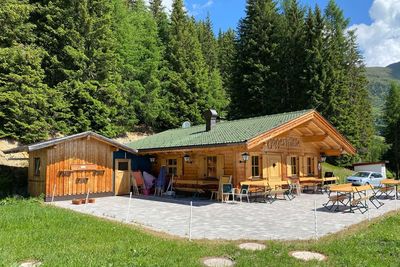
Recommendable for Fließ - Bannholz - Spils - Jagerhütte
In areas ofMountain hut, Parking spot
